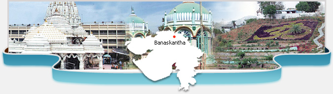
Banaskantha district is made up of the region situated on the banks
of the river Banas. The region is spread on 23-33 to 24-45 north
latitude and 71-03 to 73-02 east longitudes. In this way, it is
located in the north western part of Gujarat. Marwad and Sirohi
provinces of Rajasthan State are situated on the north of the
district. Sabarkantha district on the east, Mehsana district on the
south and Patan is situated on the west of the district. Adjoining
to the desert is the border of Pakistan.
Banaskantha district has strategic importance when its borders are
considered. Being a border district of Gujarat state the issues of
this district are important from the military point of view and so
demand attention. The area of Banaskantha district is 19,757 Sq.
Kms. The maximum length of the district is 200 KMs. and the width is
122 KMs. The district is consisted of 12 talukas.
Originally there were 11 talukas in this district at the time of
reconstitution of the districts of which Radhanpur and Santalpur
talukas were included in newly constituted Patan district. Out of
remaining nine talukas, Palanpur, Dhanera and Deodar talukas were
reconstituted and three new talukas vig Amirgadh, Dantiwada and
Bhabhar were constituted. Mamlatdar offices in all the three new
talukas have become operational.
According to census of 2001, was total population of the district
25,02,843 and total villages were 1,248 in the district.
Banas and Sipu are the longest rivers in the district. Dams are
constructed on both these rivers. Moreover Sipu and Balaram are
their tributaries. Arjuni River which is revered for Hindus emerges
from Danta and Ambaji hills and meets Saraswati River at Moriya
village of Vadgam taluka and is know as Saraswati River.
Dantiwada dam on Banas River, Sipu dam on Sipu River and Mukteshwar
dam on Saraswati River have been constructed. Banas and Sipu rivers
become one at Bhadath village of Disa taluka and meets in Banas
River. Two types of climate exist in the district area. Hot and dry.
It is terribly hot in the summers and terribly cold in the winters.
Part of the Aravali hills in the eastern part of the district are
jungles of the district and it includes some parts of the Palanpur
and Danta districts.
Palanpur is the head quarter of the district. The collector and
district magistrate at the district level and deputy collector and
sub- divisional magistrate at the regional level and revenue officer
and executive magistrate on the block level serve as the officers on
the duty. Apart from the activities related to revenue, revenue
department of the district keeps a strict watch over the law and
order in the district and also the activities to fully manage and
maintain it before hand. Apart from this it manages the activities
of general elections of the legislative assembly and house of
parliament, elections of District – Taluka Panchayat, elections of
Gram – Panchayat, election activities of municipality and Nagar –
Panchayat and joint activities of the co – operative societies.
It also manages important activities like preparing the voters list
for the elections, giving identity cards to the voters, small
savings, public distribution system of civil supplies, activities of
relief in natural contingencies like draught relief and flood
relief, mid – day meal program, census, activities related to land
reforms, activities of providing identity cards to the citizens of
the border regions, providing financial help to the old, deprived
and disabled people. There is a planning committee at the district
level. The district planning officer serves as the officer on duty.
Development activities are carried out in the district by the
planning committee. According to census of 2001, was total
population of the district 25,02,843 and total villages were 1,248
in the district.